Southern California Storm Updates: Heavy Rainfall Expected
A storm system along the California coast will drive excessive rain, thunderstorms and even the possibility of waterspouts or tornadoes through Friday, with the worst conditions expected in Southern California from Wednesday afternoon into Thursday.
The storm’s center is forecast to take the “optimal route” to produce maximum rainfall, meteorologists with the National Weather Service in Los Angeles wrote early Wednesday morning.
This storm is likely to be an exclamation point on what has already been an incredibly wet year for California, where multiple atmospheric rivers last winter buried the mountains in snow and a rare tropical storm this summer turned a desert into a lake. Already this year, downtown Los Angeles has seen almost twice as much as its average annual rainfall of 14 inches.
This winter, experts believe there is an increased chance of even more abnormally high amounts of rainfall in the state, and this storm is where it begins.
Here’s what to expect.
-
The San Francisco Bay Area will escape significant flooding, with only up to an inch of rain, mostly falling Wednesday as the storm drifts south.
-
Southern California will see the worst, with heavy rain beginning Wednesday afternoon and lasting through Thursday. The heaviest rain will fall in San Diego on Thursday.
-
A moderate risk of excessive rain that could lead to flooding is likely on Wednesday and Thursday, including in Santa Barbara and portions of Los Angeles.
“Numerous floods are likely” across Southern California, forecasters with the Weather Prediction Center posted on Facebook. Flash flooding is expected, they warned, and debris and mud flows are possible.
Since the storm will move fairly slowly, forecasters wrote that this enhanced rainfall will last much longer than a typical storm. Widespread coastal rain of 2 to 4 inches will fall, with isolated areas expected to get up to 10 inches in the higher elevations.
Additionally, there will be a chance of thunderstorms, along with the remote possibility of small, short-lived tornadoes and water spouts.
The storm is what is called a “cutoff low,” meaning the storm is separated from the main weather pattern that would push it quickly east, allowing it instead to crawl south along the California coast. It will eventually get pushed into east into Mexico toward the end of the week.
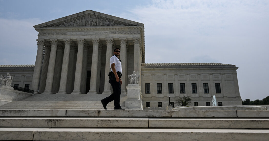
Supreme Court to Hear Another Broad Challenge to Agency Power

Prosecutors Seek to Revoke Bond for Defendant in Trump Election Case in Georgia
